
Mountain route
Cebu City to Balamban via Transcentral Highway
A practical route note for Cebu’s best-known city-to-mountain ride.
- Distance
- Approx. 70 km
- Ride time
- 3–4 hours
- Difficulty
- Moderate
- Road type
- Mountain
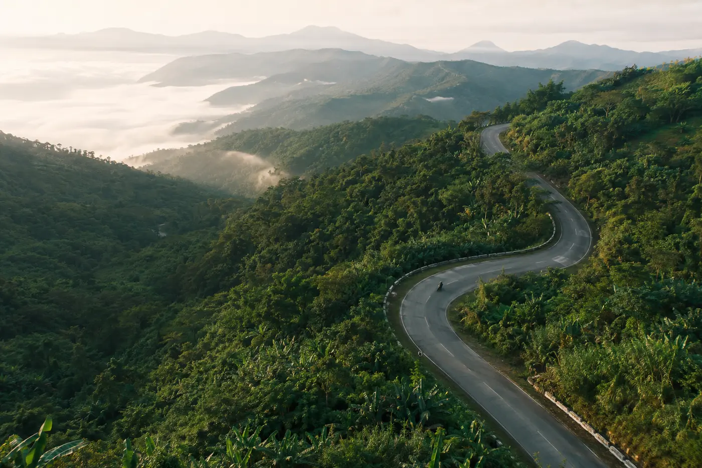 EDITORIAL ROUTE ILLUSTRATION · NOT A MAP · NOT LIVE NAVIGATION
The Transcentral Highway changes character quickly. The ride begins in the density and heat of Metro Cebu, then climbs into cooler air, tighter bends, changing visibility, and long views across the mountains.
Why ride it
This route is close enough to the city for a manageable ride but varied enough to feel like a proper change of setting. It works well as an early-morning run, a scenic day ride, or the beginning of a longer trip toward Balamban and Cebu’s west coast.
What to expect
Traffic is usually the first challenge while leaving the city. Higher sections bring sharper curves, slower vehicles, roadside activity, and weather that can be different from conditions below.
Cloud, rain, wet leaves, gravel, and limited visibility may appear with little warning. Treat blind bends as occupied and leave space for vehicles crossing the center line.
Before leaving
- Check tires, brakes, lights, fuel, and chain condition.
- Review the weather for both Cebu City and the mountain area.
- Bring a rain layer even when the city looks clear.
- Leave early enough to avoid rushing back after dark.
- Use established stops and park without obstructing the road.
Riding mindset
The road rewards patience more than speed. Smooth inputs, good following distance, and a pace that leaves room for surprises make the route more enjoyable.
This note is based on personal riding experience and received an editorial review on 20 July 2026. It is not live road information. A map or GPX file will only be added after field verification. Always follow current signs, official restrictions, and local conditions.
Before departure